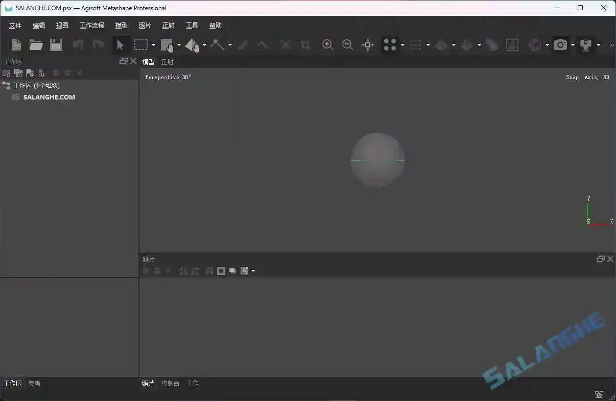
Agisoft Metashape(原名 PhotoScan)是一款由俄罗斯 Agisoft LLC 开发的专业级 3D 建模与摄影测量软件。它能将多张二维影像重建为高精度三维模型、正射影像与数字高程模型,广泛用于文化遗产保护、地理测绘、城市规划及工业建模等领域。软件支持多种数据源输入,包括照片与激光雷达数据,并提供模型编辑、纹理优化与自动化处理等强大功能。摄影测量 技术与 3D 重建算法的结合,让 三维建模 更加高效精确。


# 新版变化
Agisoft Metashape Change Log
https://www.agisoft.com/pdf/metashape_changelog.pdf
Version 2.3.0 build 21378 (4 October 2025, previewrelease)
Standard and Professional editions
- Added Natural blending mode to Build Texture dialog.
- Added Equidistant Fisheye and Equisolid Fisheye camera models with hyper hemispheric lens support
in Camera Calibration dialog.
Professional edition
- Added Camera axes option to Camera Calibration dialog.
- Added GNSS bias support to Lidar Calibration dialog.
- Added Match depth maps option to Align Laser Scans dialog.
- Added Laser Scans page to processing reports.
- Added Lidar separation image option to Generate Report dialog.
- Added Classify Overlap Points command in Tools -> Point Cloud menu.
- Added Legend range option to DEM Palette dialog.
- Added Depth threshold parameter for Generate Masks command to Batch Process dialog.
- Added parallel processing support for independent tasks over network.
- Updated orthomosaic and DEM in interior cylindrical projection to use right handed coordinate system.
- Updated Python to version 3.12.
# 软件特点
- 提供自动化建模流程,从图像导入到模型生成一体化操作。
- 兼容多种数据类型,包括照片与激光雷达点云。
- 支持高精度纹理贴图与正射影像生成。
- 优化算法加快重建速度,保证模型质量。
- 界面直观易用,适合科研、工程与教育领域使用。
# 功能特性
- 多源数据融合:可同时处理照片与激光雷达数据,提升模型精度。
- 自动相片对齐:智能识别并匹配图像特征点,实现高效重建。
- 三维模型重建:快速生成高分辨率三维网格模型,适用于可视化展示与测绘。
- 正射影像输出:生成无畸变、可量测的地理正射图像。
- 数字高程模型:从影像数据中提取地形信息,用于地质与规划分析。
- 批量处理功能:支持脚本与批量任务,提升工作效率。
- 纹理映射优化:提供多种纹理生成模式,实现逼真可视化效果。
- 坐标系统支持:兼容多种地理坐标系统,便于测绘数据整合。
- 模型编辑工具:内置点云清理、网格修复、区域裁剪等编辑功能。
- 报告生成:自动生成处理报告,便于项目归档与分析。


